Interactive Maps Based on Google Earth Engine
Timely access to reliable geospatial information is essential for informed decision-making. As environmental conditions evolve rapidly, static maps and reports often fail to provide the real-time insights needed for effective planning and management. Interactive web-based mapping platforms enable decision-makers to visualize, analyze, and monitor environmental conditions dynamically, transforming complex spatial data into actionable intelligence.
At Blue Green Nexus, we develop interactive mapping solutions powered by Google Earth Engine (GEE), one of the world’s most advanced cloud-based geospatial analysis platforms. By integrating satellite imagery, remote sensing products, climate data, GIS layers, and field observations, we create intuitive web applications that allow users to explore, analyse, and monitor environmental changes through interactive dashboards and maps.
Our solutions
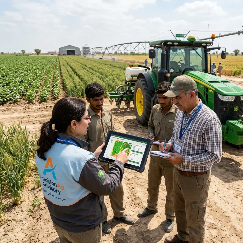
We support a wide range of applications, including flood and drought monitoring, land-use and land-cover mapping, vegetation health assessment, groundwater recharge potential, watershed analysis, biodiversity monitoring, agricultural drought, climate risk assessment, ecosystem restoration, and environmental change detection. Users can visualize historical trends, compare scenarios, monitor real-time conditions, and generate decision-ready information through a user-friendly interface without requiring advanced GIS expertise.
We combine the analytical capabilities of Google Earth Engine with modern web GIS technologies, artificial intelligence, and spatial analytics to deliver customized decision-support platforms for governments, development partners, research institutions, and the private sector. Our interactive applications improve data accessibility, strengthen institutional decision-making, and enable stakeholders to monitor projects, evaluate interventions, and respond proactively to emerging environmental challenges.
At Blue Green Nexus, we believe that the value of geospatial data lies in its accessibility and usability. By transforming satellite imagery and complex spatial datasets into interactive, user-friendly mapping platforms, we empower organizations to make faster, smarter, and evidence-based decisions for resilient and sustainable development.